Sierra Foothills Drive #2
(Saturday, July 1st 2000) Northern California Sierra Foothills. This drive starts and ends near Coloma California. The total distance is about 150 miles. If you start mid morning, there is nice place at the midpoint for a picnic lunch.
Start in Coloma on Hwy 49 heading east.
Right on Marshall Rd.
[optional] left on Prospectors Rd. It will meet up with Marshall in
a couple of miles.
Follow Marshall Rd. all the way to GeorgeTown.
Right on Wentworth Springs road will go through GeorgeTown.
Continue on Wentworth Springs towards Stumpy Medows Lake.
Past Stumpy Medows Lake, the road becomes Forestry Road 1.
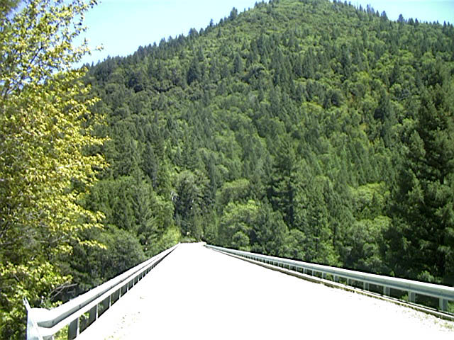 Left on Forestry Road 2, towards Hell Hole and French Meadows. A few
miles down this road will bring you to Ellicotts Bridge. A good place to
stop and enjoy the view.
Left on Forestry Road 2, towards Hell Hole and French Meadows. A few
miles down this road will bring you to Ellicotts Bridge. A good place to
stop and enjoy the view.
When you come to a Y, stay to the right on Forestry Road 2
Left on Forestry Road 22. Towards French Meadows. To the right is Hell Hole
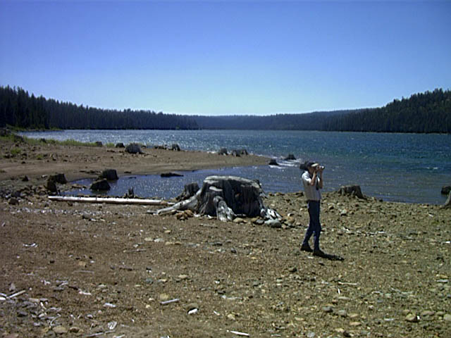 This will take you to the levy of French Meadows Res. If you go
straight, you follow the lake to campgrounds and picnic areas. You can
get about 3/4th of the way around the lake before this dead-ends.
This will take you to the levy of French Meadows Res. If you go
straight, you follow the lake to campgrounds and picnic areas. You can
get about 3/4th of the way around the lake before this dead-ends.
 Back track and cross over the levy over LL Anderson Dam. This turns
into Mosquito Ridge Rd. (aka Forestry Road 96)
Back track and cross over the levy over LL Anderson Dam. This turns
into Mosquito Ridge Rd. (aka Forestry Road 96)
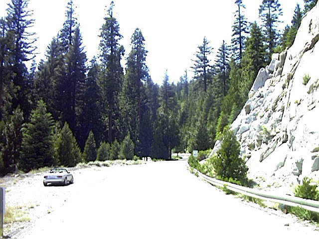
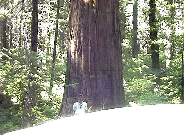 After going about 10 miles down Mosquito Ridge Rd. there will be a
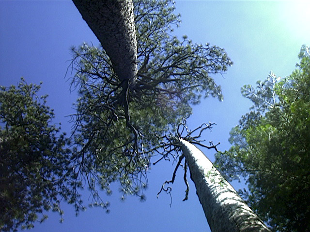
turn off to the left for Big Tree Grove. There is a short hiking trail
around some very large trees. Check it out.
After going about 10 miles down Mosquito Ridge Rd. there will be a
turn off to the left for Big Tree Grove. There is a short hiking trail
around some very large trees. Check it out.
Continue on Mosquito Ridge Rd. about 25 more miles to ForestHill.
Left on Forest Hill Rd. (or go right if you want to stop in Forest Hill
Forest Hill Rd. will go all the way to Auburn (about 18 miles).
After about 15 miles, hang a left on Old Auburn Road
Left on Hwy 49 and head back to Coloma.